If you’ve never been to this beautiful island nation—or if you don’t happen to scroll through maps for fun—it’s perfectly natural to ask: Where is Malta?
The answer is simple, and to help you get a clear picture, I’ve included a map so you can easily see where Malta is located.
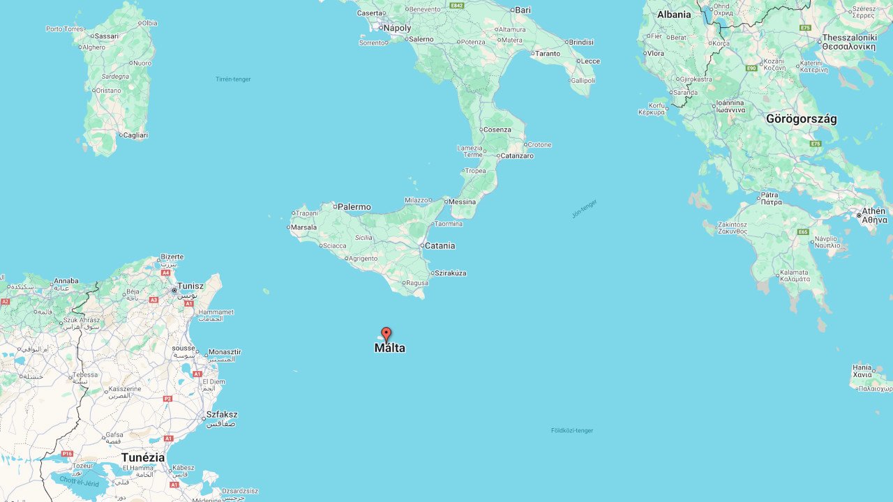
Malta sits in the southern part of the Mediterranean Sea, between Sicily, Libya, and Tunisia—right between Europe and Africa. It’s located just south of Sicily, and the two islands are only about 95 km (roughly 60 miles) apart. Ferries run between them daily. South of Malta is Libya (near Tripoli), and Tunisia lies to the west.
Where Is Malta on the Map?
On the interactive map below, we’ve marked exactly where Malta is. Feel free to zoom in or out to get a better look at where this small island country is located.